
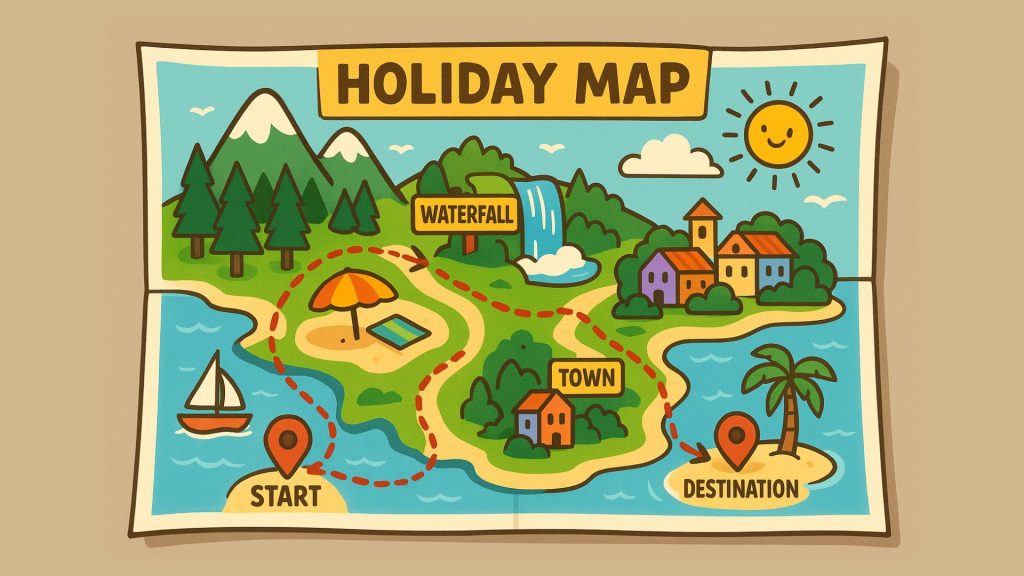
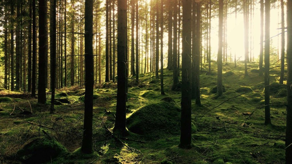
Create your ultimate road trip using a maps app.
Dreaming of the perfect road trip or vacation, but not keen on following a standard travel itinerary from a travel […]
Create your ultimate road trip using a maps app. Read More »
Dreaming of the perfect road trip or vacation, but not keen on following a standard travel itinerary from a travel […]
Create your ultimate road trip using a maps app. Read More »
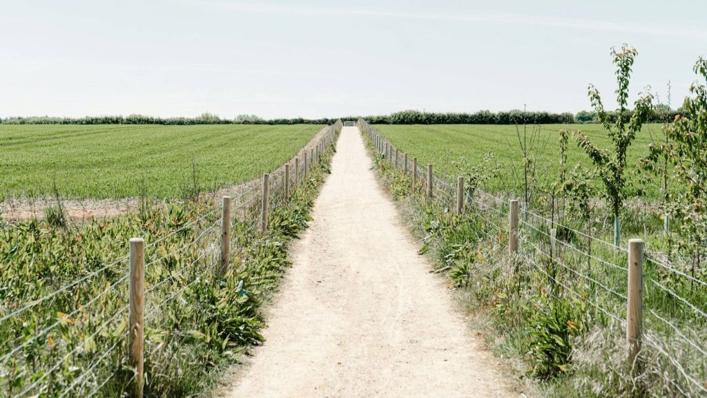
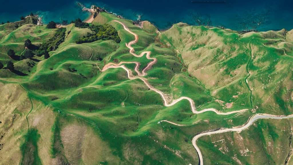
Slow roads are pathways designed for non-motorized traffic. Having a complete map of slow roads unlocks various opportunities. Whether you’re
Mapping slow roads: smarter and safer routes for walkers and cyclists Read More »
If you work with GIS, cartography, or geospatial data in Belgium, understanding the differences between Lambert 72 and Lambert 2008 is crucial. In this article we explain why.
Lambert 72 vs. Lambert 2008: What’s the difference? Read More »
De Vlaamse beleidsnota “Omgeving 2024-2029” biedt een heldere visie voor een duurzame en klimaatbestendige toekomst. GIS-technologie kan deze visie ondersteunen
3 concrete GIS-ideeën voor Departement Omgeving Read More »
Carbon deposition presents a powerful opportunity for organizations to neutralize their carbon footprint and additionally create a net-positive impact by
GeoWeave was present at a hackathon where consultants and experts explored the end-to-end process of using drones for precision weed management.
4 steps to achieve high precision weed control with drones Read More »
The number of cases where Geographical Information Systems (GIS) can assist in decision making around climate change are numerous. In
3 powerful ways GIS can help combat climate change Read More »
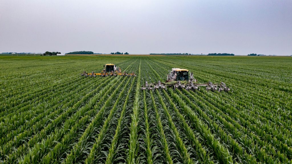
The agriculture sector can use GIS to create detailed soil maps that reveal variations in soil type, fertility, yield, crop
5 Benefits of GIS in agriculture Read More »