Geospatial monitoring solutions are emerging as a vital tool in unlocking the potential of carbon deposition. This article explores:
- The importance of carbon deposition.
- Its relevance to organizations.
- How geospatial technology can enable positive and measurable change.
What is Carbon Deposition?
As the world intensifies efforts to combat climate change, the spotlight has traditionally been on reducing carbon emissions, as discussed in our earlier blog article.
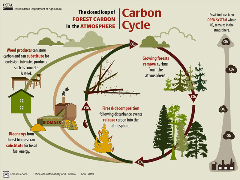
However, an equally critical yet underexplored avenue lies in carbon deposition: the process of capturing and storing carbon in natural systems such as forests, soils, and wetlands. Carbon deposition actively removes existing carbon from the atmosfere as discussed by [Smith et al., 2016].
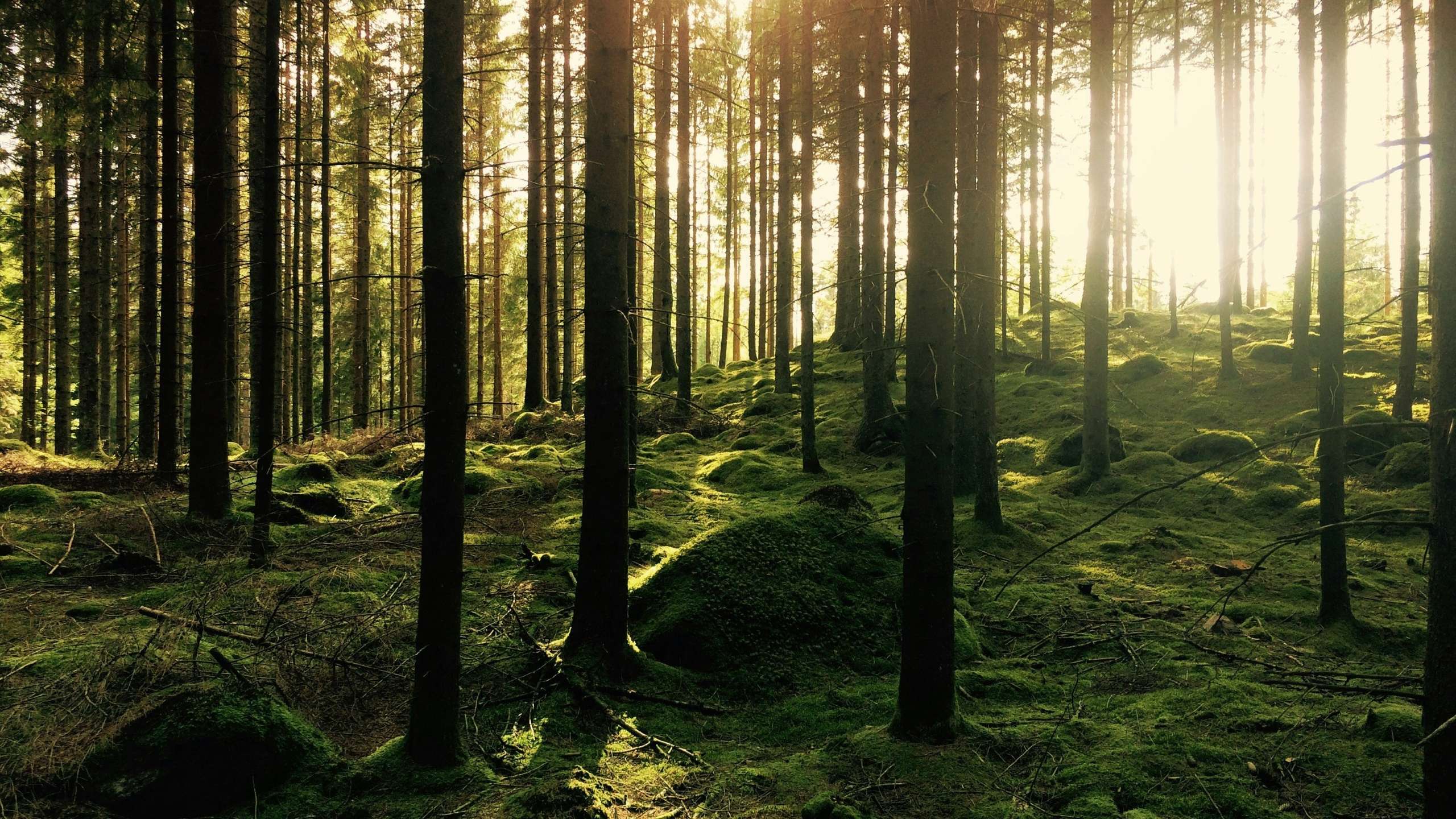
Carbon deposition refers to the natural or assisted process of sequestering carbon dioxide (CO₂) from the atmosphere and storing it in ecosystems such as forests, grasslands, peatlands, and agricultural soils. These natural ecosystems act as carbon sinks, helping to offset emissions and support global climate goals.
Why Organizations Should Consider Carbon Deposition?
1. Climate Leadership: Investing in carbon deposition allows organizations to lead in climate action, moving beyond mitigation to active contribution. By creating or enhancing carbon sinks, businesses can position themselves as pioneers in sustainable development.
2. Regulatory Alignment: Governments worldwide are tightening regulations around carbon emissions and land use, with initiatives like the FLAG Regulation and the EU Deforestation-Free Products Regulation. Carbon deposition aligns seamlessly with these frameworks, offering a proactive compliance strategy.
3. Ecosystem Benefits: Carbon deposition not only captures carbon but also restores ecosystems, improves biodiversity, and strengthens ecosystem services like water purification and soil fertility. This enhances the social and environmental impact of sustainability efforts.
4. Long-Term Value: Healthy ecosystems offer resilience against climate risks, such as floods and droughts, ensuring stability for operations and supply chains. Investing in carbon deposition safeguards both natural and business capital.
The Role of Geospatial Monitoring Solutions in Carbon Deposition
1. Accurate Carbon Accounting: Geospatial tools such as satellite imagery and remote sensing enable precise measurements of carbon stocks in forests, soils, and wetlands. By integrating these measurements with advanced algorithms, organizations can:
- Quantify the amount of carbon captured in specific regions. [Gao et al., 2020].
- Monitor changes over time to ensure long-term sequestration.
- Validate carbon credits for compliance or market trading.
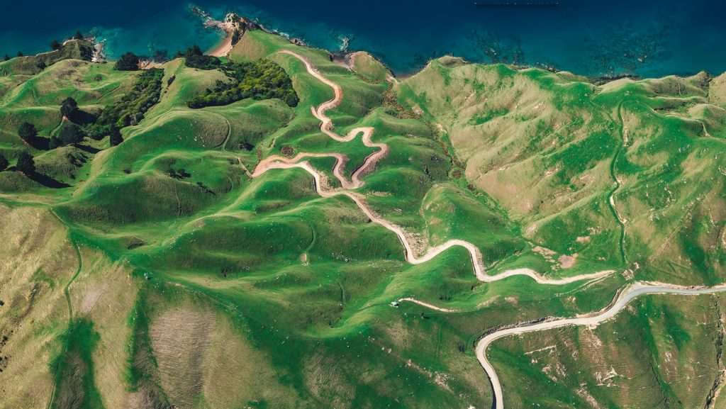
2. Land Use Optimization: Geospatial data helps identify areas with high potential for carbon deposition. Organizations can use these insights to:
- Target degraded lands for reforestation or afforestation.
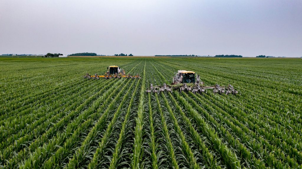
- Implement regenerative agricultural practices to enhance soil carbon storage.
- Protect existing high-value ecosystems such as peatlands or mangroves.
For example, geospatial tools can analyze soil health and identify opportunities to switch to cover cropping or no-till farming, practices that significantly boost soil carbon capture. [Lal, 2004].
3. Monitoring and Reporting: Transparent reporting is critical for both compliance and stakeholder trust. Geospatial monitoring solutions provide real-time data visualizations, such as carbon maps and dashboards, to communicate progress effectively. These tools also support regulatory reporting requirements, ensuring organizations meet international standards like FLAG and the Paris Agreement.
4. Risk Management: Geospatial technology empowers organizations to anticipate and address risks to carbon sinks, such as deforestation, wildfires, and land degradation. By combining climate models with geospatial data, businesses can take proactive steps to protect their investments in carbon deposition.
Carbon Deposition and Regulatory Frameworks
The relevance of carbon deposition is further amplified by its alignment with key regulatory frameworks.
By integrating geospatial solutions for carbon deposition, organizations can meet regulatory requirements while turning compliance into a catalyst for combating climate change.
FLAG Regulation: Focused on land use and greenhouse gas reduction, FLAG provides a framework to measure and manage emissions and sequestration.
Deforestation Regulation: This regulation mandates deforestation-free supply chains, emphasizing the critical role of preserving and enhancing carbon-rich ecosystems. Geospatial tools serve a dual purpose: verifying compliance and optimizing carbon deposition within supply chains. [European Commission, 2023].
Case Study Umicore: Natural Buffer Zones in practice
Organizations like Umicore are setting an example by incorporating nature-based solutions around their industrial operations. By creating buffer zones of natural vegetation around their facilities, Umicore not only offsets carbon emissions but also enhances biodiversity and provides a natural shield against environmental impacts.
One notable example is their green zone in the Moretusburg neighborhood, which demonstrates how industrial sites can coexist with thriving ecosystems. Geospatial monitoring helps track the carbon sequestration performance of these zones, ensuring their effectiveness and long-term sustainability.
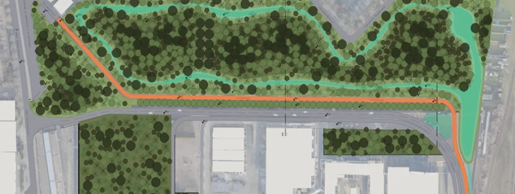
Read more about this initiative on their official website. This approach demonstrates how businesses can integrate carbon deposition strategies directly into their operational footprint while achieving measurable ecological and social benefits.
Conclusion
Carbon deposition represents a transformative opportunity for organizations to go beyond emissions reduction and make a net-positive impact on the planet. With geospatial monitoring solutions, businesses can unlock the full potential of carbon sinks, ensuring measurable progress in climate action while reaping benefits in biodiversity, resilience, and reputation.
By investing in geospatial technology, organizations not only align with global regulatory frameworks but also position themselves as leaders in the fight against climate change. The time to act is now—embrace carbon deposition and geospatial innovation to drive a sustainable future.