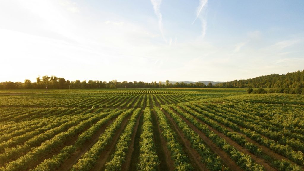
The agriculture sector can use GIS to create detailed soil maps that reveal variations in soil type, fertility, yield, crop health and moisture levels across a field. By integrating multiple data points and visualizing them on a coprehensive map, GIS systems allows for robust and easier decision making, like more precise application of fertilizers where needed.
In this article, 5 benefits are discussed on a higher level. It is intended as a source of inspiration for GIS consultants and agriculture suppliers like agroconsultants, seed&plant breeders, insurance, machine builders & drone pilots.
1. Pest and disease management
In Belgium the most common areal crops in agriculture are maize, wheat, patatoes and (sugar) beet. Each of these crops has specific diseases or harmfull herbs. GIS can be used to monitor plant health and predict pest outbreaks by analyzing historical data and current conditions. This enables targeted pest control measures, reducing the need (and cost) for widespread pesticide use and protecting the surrounding ecosystem.
There are many examples where GIS is applied in agriculture, like detection of datura or black nightshade, which are toxic herbs for human and animals that can damage the harvest of an entire field.
2. Flood detection helps agriculture in insurance cases
In Belgium, there is a national disaster plan, which compensates damage due to extreme wheather conditions like heavy rainfall, extreme wind, or hail. Since 2023 however, the national disaster plan no longer applies to the agriculture sector. Farmers need to take a wheather insurance from the banking & insurance sector instead. A claim typically needs to include imagery.
GIS uses sattelite data, and potentially even drone data, to help visualize damage to the field and crops. Also governmental agencies and fire fighters might benefit from a visual overview of the flooded area. VITO has developed a monitoring and mapping system called Terraflood.
GeoWeave can develop custom solutions that include hazard monitoring, detection and prediction capabilities, including price setting for insurance claims.
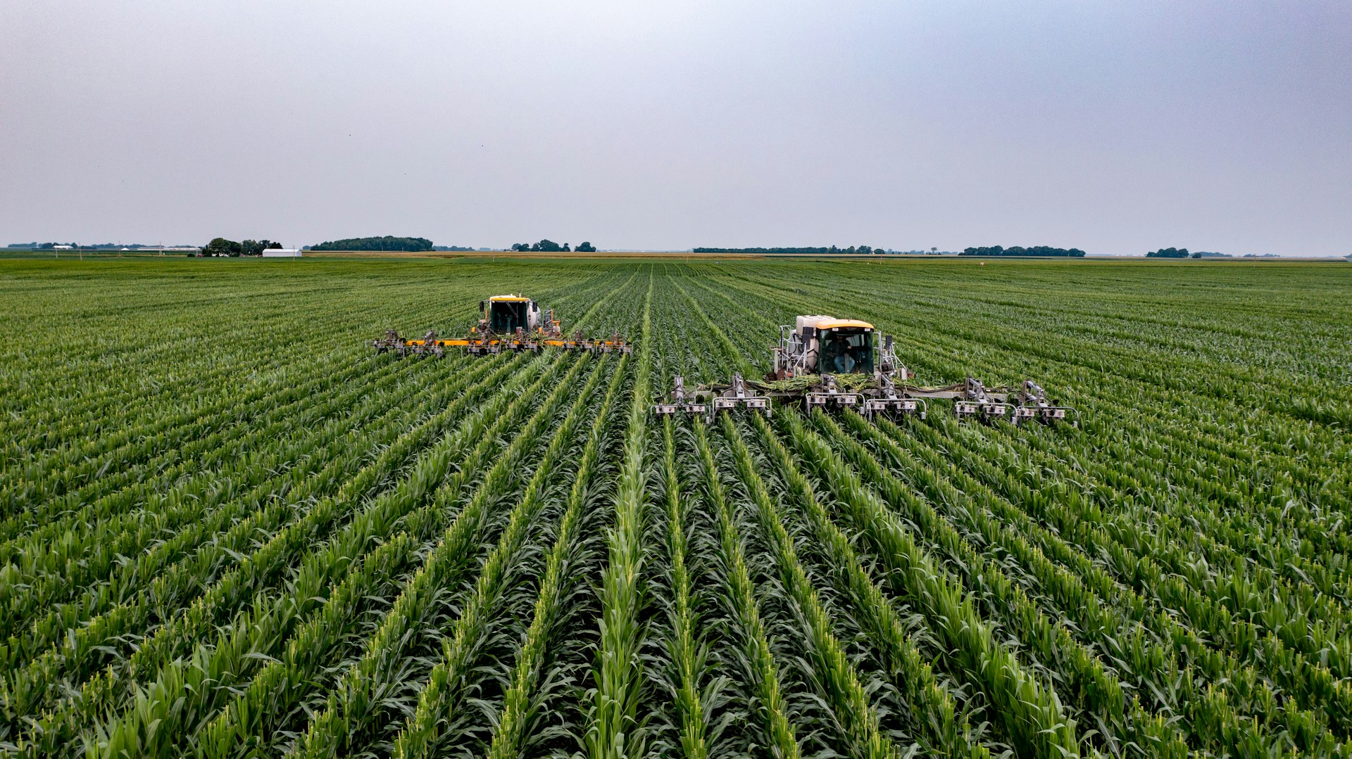
3. Precision application of fertilizers
In commercial leek farming, fertilizers are used intensively. It is a typical crop where precision agriculture has the potential to be beneficial.
There are three main benefits:
- Reduce the cost by reducing fertilizer usage. Different studies indicate reduction in fertilizer usage in precision agriculture are between 30%-80% (Vingerhoets et al. (2021))
- Minimize the environmental impact from over-fertilization. Thus contributing to a more sustainable image for agriculture. As fertilizer usage has come under scrutiny in Belgium, and abroad. The willingness to pay more for sustainable food products has increased significantly over the past few years.
- It makes it easier to comply with the increasingly strict fertilisation standards in Belgium.
Many research initiatives show promising results, althought there are still hurdles to vercome, as you can read on the website of ILVO, The Flanders Research Institute for Agriculture, Fisheries and Food.
4. Yield prediction and planning
GIS applications help farmers analyze data from previous seasons, weather forecasts, and soil conditions to predict yields more accurately. This information supports better planning for harvesting and storage, minimizing waste and optimizing supply chain logistics.
WatchITGrow is an online platform that uses GIS to monitor arable crops and vegetables in view of increasing yields.