We create valuable insights from
Geospatial Data
GeoWeave provides GIS solutions in climate and agriculture. We do not see the world as it is, but envision what it could be.
Our Solutions
In everything we do, we collaborate with leading partners to integrate various data-sources into meaningful solutions. In addition to providing staffing solutions, we specialize in creating custom GIS/GEO solutions for the benefit of agriculture and climate.

Climate
We develop custom solutions for ESG reporting, urban/spatial planning, and hazard detection.
Our extensive expertise in sustainability and ESG reporting, along with our partnerships with organizations like Epic Horizons, positions us as the ideal choice for geosolutions in this field.

Staffing
We provide GIS and GEO expertise either by adding experts to an existing team or carrying out projects in Belgium.
Our team includes GIS engineers, analysts, architects, app developers, and project managers. We thrive in projects focused on environmental and agricultural applications, where we can make the most impact.

Agriculture
We develop tailored GIS solutions that enhance decision-making in seed breeding, yield optimization, precision application of fertilizers and pesticides, and hazard monitoring.
By leveraging existing data sources and integrating research from organizations like VITO, we aim to boost agricultural productivity while minimizing environmental impact.
“Authentic and deeply attuned to their customers' needs, the team at GeoWeave is always a pleasure to work with.”
Nele Van Campfort
ESG manager for a large mechanical engineering group in Belgium.
Read Our Blog
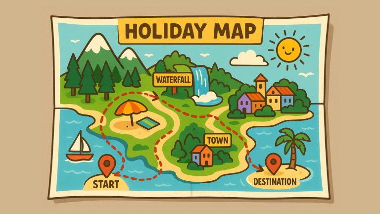
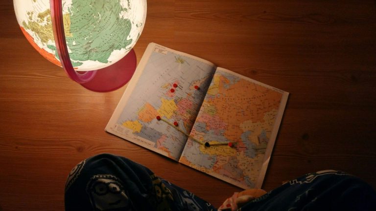
Create your ultimate road trip using a maps app.
Dreaming of the perfect road trip or vacation, but not keen on following a standard travel itinerary from a travel…
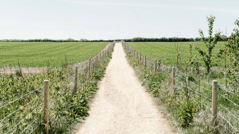
Mapping slow roads: smarter and safer routes for walkers and cyclists
Slow roads are pathways designed for non-motorized traffic. Having a complete map of slow roads unlocks various opportunities. Whether you’re…
Lambert 72 vs. Lambert 2008: What’s the difference?
If you work with GIS, cartography, or geospatial data in Belgium, understanding the differences between Lambert 72 and Lambert 2008…
CAREERS
Are you our next colleague?
Meet Our Team!
We believe that innovative GIS and GEO solutions have the power to positively impact the world by transforming raw data into valuable insights. We are motivated to help decision makers in sutainability and agriculture to make informed decisions by visualising different data points, business insights and predicitions on a map.
Our Board of Advise
We are blessed to be supported by the following people and their insights.
QUESTIONS?
Whether you’re curious about us, have a project or want to join, we’re here to answer any questions.